
Current Frost Depth: Live Readings by Region
Current frost depth is how deep the ground is frozen right now, measured at weather stations. It changes through the winter, and no national ZIP code lookup exists. This page points you to official sources that publish readings, explains how to read them, and shows why builders use the code frost line instead of today's reading.
- Checked October 2026
- 8 sources
- How we verify
- Official ZIP lookupNoneReadings come from stations, not addresses.
- Use for buildingCode frost lineNot today's reading.
- Best sourceNearest stationState networks and NWS.
What Is the Current Frost Depth?
Current frost depth is how deep the ground is frozen today. It is a measurement from a station, it changes week to week, and it says nothing about the depth your building department requires. For building, use the code frost line. For a live reading, use one of the sources below.
Where Can You See Current Frost Depth Maps?
Official frozen-ground readings are published mostly for the Upper Midwest, where frost affects roads and spring flooding. We list each source and what it actually measures, and link to it rather than copy numbers that go stale. Check the date on every reading.
| Source | Region | What it measures |
|---|---|---|
| North Central River Forecast Center, NWS | Upper Midwest | Frost depth in inches below the soil surface, pooled from several networks, one file per winter |
| MnDOT seasonal load limits | Minnesota | Frozen soil profiles, frost and thaw depth graphs, freezing and thawing index maps |
| Iowa Environmental Mesonet | Iowa | Soil temperature at several depths, collected from public networks |
| NDAWN | North Dakota and nearby | Soil temperature at several depths |
Current frost depth in Minnesota
Minnesota has the most complete coverage. The state climatology office explains that frost depth is measured with frost tubes installed by the National Weather Service and the U.S. Army Corps of Engineers, with readings updated weekly by the Corps. MnDOT runs frozen-soil profile sites with sensors as deep as 90 to 96 inches in some counties, and uses a cumulative thawing index to time spring road restrictions: once it reaches 25 °F-days, enough thawing has happened that restrictions should be in place.
Current frost depth in North Dakota
NDAWN stations log soil temperature at set depths, so frost depth is found by interpolating to the depth where soil is at 32 °F. A comparison at Fargo found a liquid-in frost probe run by the Weather Service showed the same trends as NDAWN but consistently deeper frost, and the Carrington sensors only reach 69 inches, so the deepest frost can go uncounted.
Current frost depth in Iowa
The Iowa Environmental Mesonet does not run its own stations; it gathers readings from public networks, including soil temperature at depths such as 4, 12, 24 and 48 inches. It does not publish a frost depth itself, so read the depth where the soil drops to 32 °F. Iowa State extension notes that 12 inches or more of snow often reduces how far freezing temperatures reach into the soil.
Current frost depth across the Upper Midwest
The North Central River Forecast Center keeps yearly files of frost depth measurements from across its region, used for spring flood outlooks because deep frost increases runoff. The data is pooled from several networks and is not quality controlled, so the Weather Service asks users to treat it with care.
Can You Get Current Frost Depth by ZIP Code?
No official ZIP code lookup exists that we could verify. Station data are point readings, and frost depth can differ across one yard because of snow, shade and soil. Use the nearest station as a rough guide and do not size a footing from it.
How Is Frost Depth Measured?
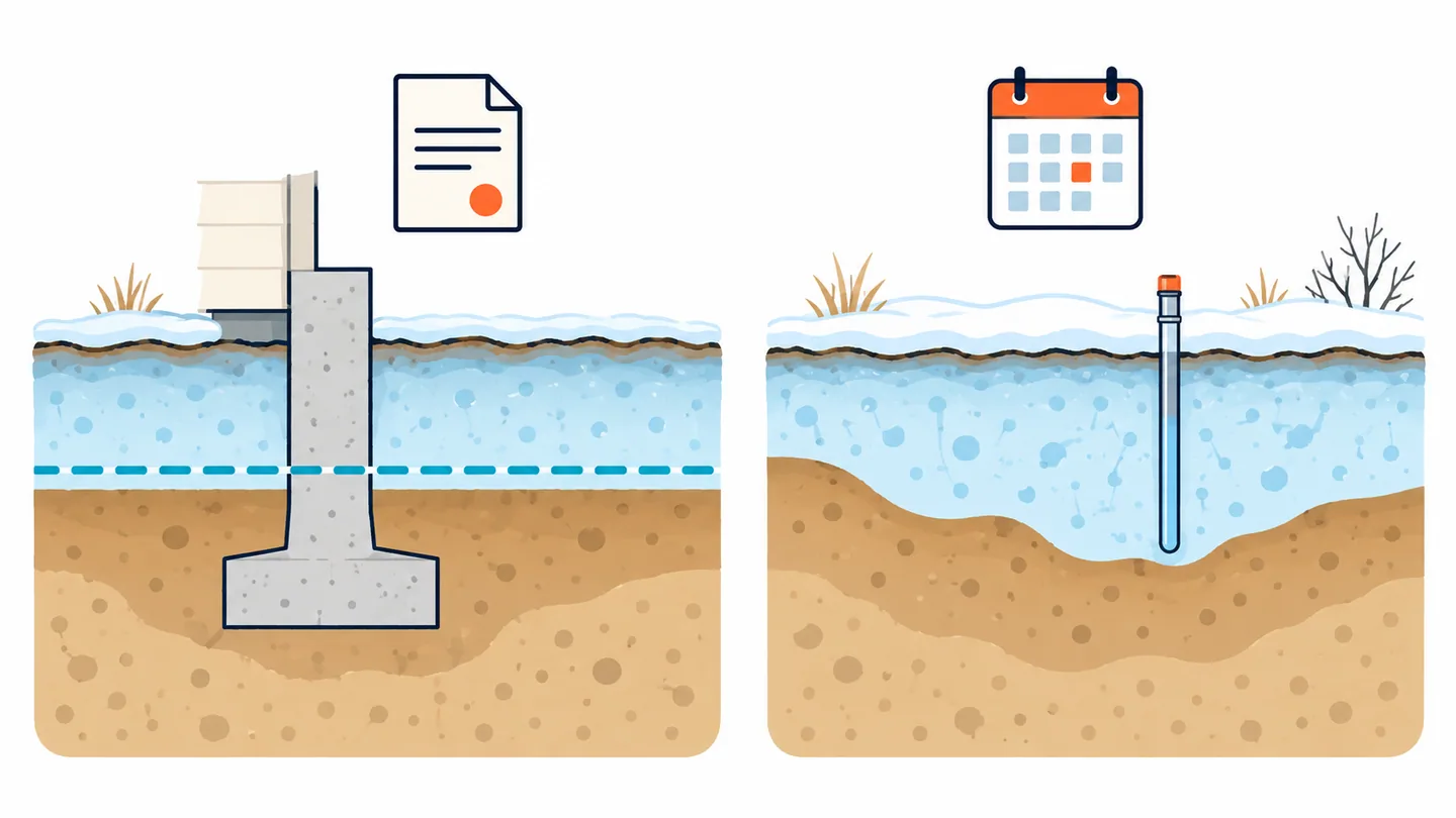
Mostly with frost tubes or with soil temperature sensors at several depths. Both are covered in how to measure frost depth.
When Does the Ground Thaw?
Ground thaws from the surface down once spring warmth arrives. Thawing soil is wet and weak, which is why highway agencies such as MnDOT post seasonal load limits. Thaw timing differs by year and location, so check your local source.
Should You Use Today’s Frost Depth to Decide How Deep to Dig?
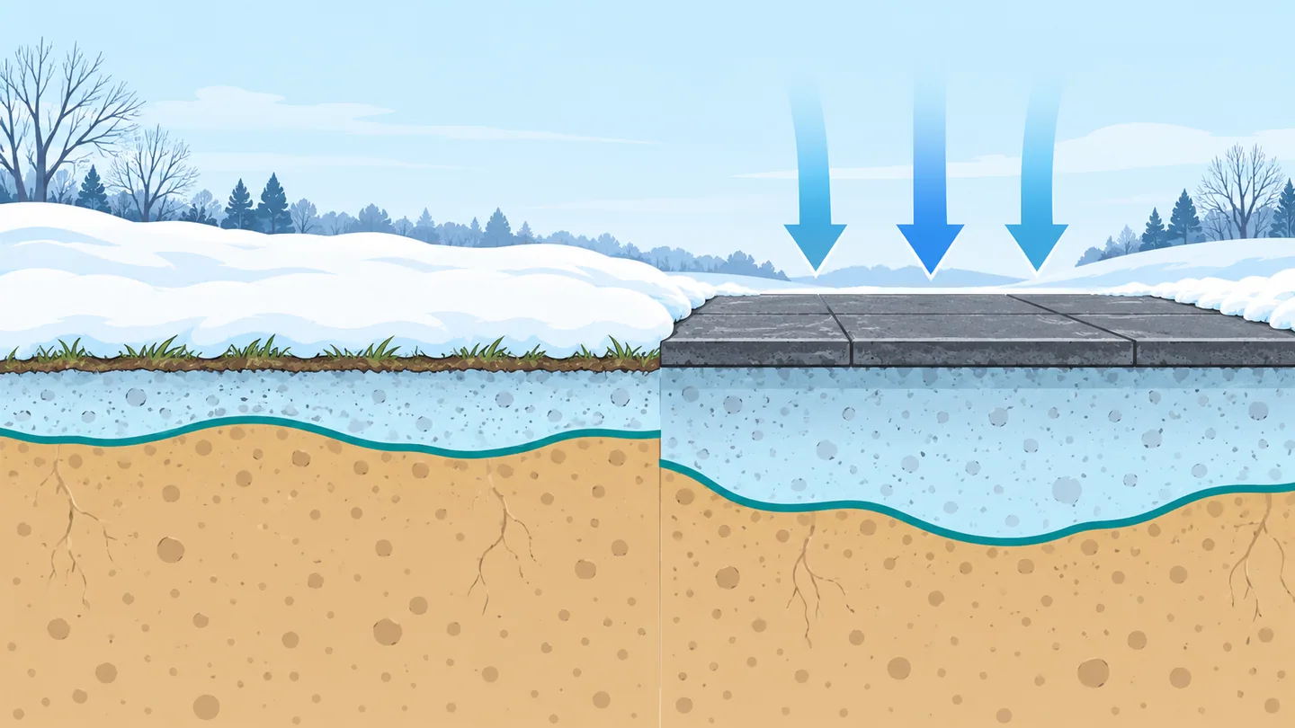
No. Today’s reading describes one winter on one day. The footing has to survive every winter, which is why the code sets a minimum. Enter your ZIP code to see the depth that applies to you.
Questions People Ask
Is there a current frost depth map by ZIP code?
Not an official one that we found. Frost readings are taken at stations and by state networks, so use the nearest station and treat it as an estimate for your lot.
Should I use today's frost depth to decide how deep to dig?
No. Dig to the frost line your building code sets. A mild winter can be followed by a hard one, and the inspector enforces the code value.
What is the current frost depth in Duluth, MN?
Check the Minnesota sources above: the state climatology office and MnDOT publish frost readings during winter, and the Weather Service’s regional files include Minnesota sites. Use the nearest station and the date on the reading. For building in Duluth, use the code depth: St. Louis County is in Minnesota’s 60 inch zone.
What Is Your Frost Line Depth?
Enter a ZIP code or city to see the depth your own building code sets.